Winter storm warnings for 12 states as 48 inches of snow to hit
Winter weather warnings have been issued in Washington, Colorado, Idaho, California, Utah, Nevada, Oregon, Montana, Wyoming, Minnesota, Alaska, and Michigan.
Winter storm warnings have been issued for 12 states, with up to 48 inches of snow expected on Saturday.
Why It Matters
Freezing temperatures may pose health risks, particularly for vulnerable groups such as infants and older adults. Snow can disrupt travel and create dangerous driving conditions, while winter storms may also cause power outages.
What To Know
Winter storm warnings and advisories have been issued in 12 states, including Washington, Colorado, Idaho, California, Utah, Nevada, Oregon, Montana, Wyoming, Minnesota, Alaska, and Michigan, as a powerful storm is expected to bring significant snow and hazardous conditions to these states.
While forecast snowfall varied from state to state, the National Weather Service (NWS) said it would be possible for up to 48 inches of snow to accumulate in Wyoming's highest peaks.
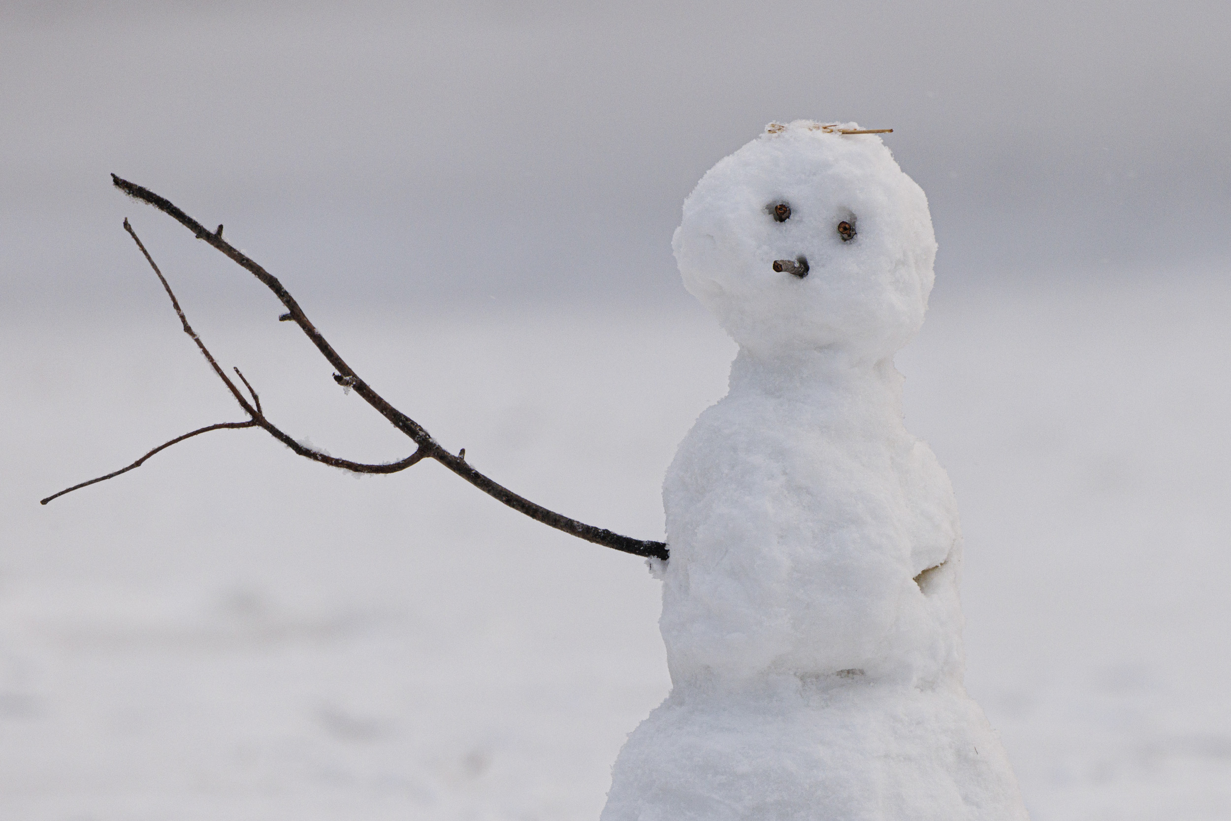
A snowman is seen in Dupont Circle in Washington DC on Sunday, January 19, 2025. A snowman is seen in Dupont Circle in Washington DC on Sunday, January 19, 2025. Aaron Schwartz/Sipa USA/AP
The NWS also warned of the possibility of frostbite and hypothermia developing on exposed skin in Wyoming due to cold temperatures.
In Alaska, the service warned that blizzard conditions could significantly reduce visibility, and that "dangerously" cold wind chills could cause frostbite on exposed skin.
Meanwhile, in the Pacific Northwest, winter storm warnings are in effect for the West Slopes of the North Cascades and surrounding areas, including Packwood and Stevens Pass, where snow accumulations of 4 to 8 inches are expected above 3,000 feet. Similar warnings are in place for the Upper Slopes of the Eastern Washington Cascades and the Central and Southern Cascades of Oregon, where snow totals could reach up to 30 inches in some locations.
Additional winter storm warnings extend to Montana, Nevada and California, with significant snow accumulations expected. The Ruby Mountains and East Humboldt Range in Nevada could see up to 27 inches of snow by Monday morning, and areas in Northern California, including the Sierra Nevada, are bracing for heavy, wet snow that may cause power outages from downed trees. And in Montana, the Missoula/Bitterroot Valleys are under a Winter Storm Warning until 5 p.m. MST Saturday, with mixed precipitation, ice, and snow squalls creating difficult travel conditions. Snow and ice accumulations could make travel nearly impossible, especially during the Friday evening commute. A Winter Storm Watch has also been issued for Sunday through Tuesday night, with the potential for up to 8 inches of snow.
Further west, the North Oregon Coast Range and South Washington Cascades are also facing hazardous conditions. A Winter Storm Warning is in effect until 4 a.m. PST Sunday, with snow accumulations of 8 to 14 inches expected above 2,500 feet and winds gusting up to 45 mph.
Residents across the affected regions are advised to avoid unnecessary travel and to use extreme caution if travel is unavoidable. It's recommended to keep winter emergency kits in vehicles, which should include flashlights, food and blankets. Additionally, individuals should check local forecasts and road conditions before heading out to stay informed and ensure their safety.
What People Are Saying
The NWS Weather Prediction Center said on X: "Heavy snow is forecast throughout much of the higher terrain of the West, with lighter low elevation snow also possible for parts of the Pacific Northwest."
The NWS Missoula said on X: "Missoula Police Department has issued an emergency travel only due to deteriorating road conditions. We have upgraded the winter weather advisory to a winter storm warning for ice accumulation through morning for the Missoula and Bitterroot Valleys."
What Happens Next
Some of the weather warnings are in place until Tuesday evening, while others will be in place just for the weekend.
Forecasts are subject to change, with the NWS regularly issuing updates on its website.


:max_bytes(150000):strip_icc()/012125-make-pop-star-go-viral-embed-social-1bf70fada5a74d1780983491c231f26d.jpg)
:max_bytes(150000):strip_icc()/012125-make-pop-star-go-viral-embed-social-1bf70fada5a74d1780983491c231f26d.jpg&description=How to Make a Pop Star's Style Go Viral The new generation of pop divas, including Charli XCX, Doechii, Sabrina Carpenter, and Chappell Roan, has internet fans obsessing over their personal style, as well as their music. Here, InStyle taps stylists Sam Woolf and Genesis Webb and industry experts to unpack why and how their fashion goes viral. %23sabrinacarpenter)